
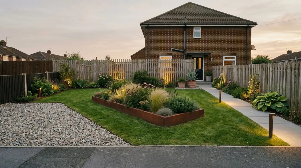
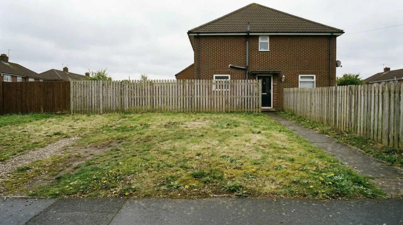
Zone real activities
Place dining, gathering, play, and open use around realistic routes rather than filling every area.
Backyard planning guide


Upload a photo to replace this demonstration with your own space. Your preview, progress, and result will stay here.
Live brief
What is the primary use for this backyard?
Do you observe standing water or drainage problems?
Place dining, gathering, play, and open use around realistic routes rather than filling every area.
Preserve trees, doors, drainage paths, utilities, and maintenance access until they are verified on site.
Treat the generated image as a visual planning aid. Confirm dimensions, drainage, utilities, materials, and construction requirements locally.
No. It produces a visualization and planning concept, not construction drawings or engineering advice.
No. Confirm plant suitability, quantities, materials, and prices with local sources and professionals.
No. The result is a visual planning concept, not a verified project case or construction-ready package.
Visualize curb presence and a clear arrival sequence while reserving code, utility, planting, and visibility decisions for local verification.
Visualize circulation and planting from your photo without hiding the access, drainage, egress, and utility constraints that narrow spaces carry.
Visualize a flexible outdoor room with seating, circulation, and containers without making claims about loads, waterproofing, rails, attachments, or construction feasibility.